Mercator projection
Mercator preserves local angles and draws constant-bearing routes as straight lines. Learn why Greenland and polar regions look large on this map.
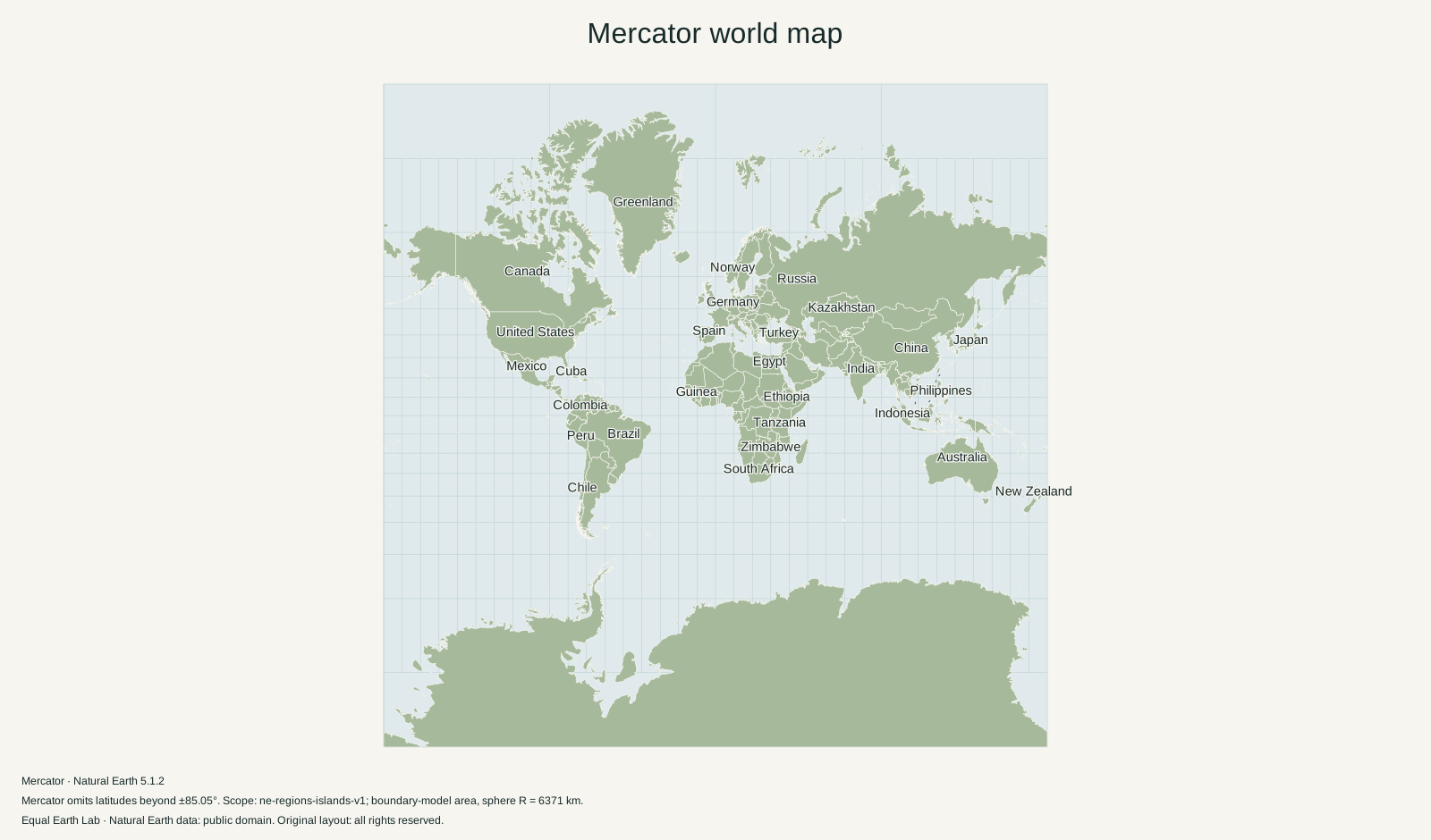
What Mercator preserves
Mercator preserves angles locally. On the spherical model used here, very small shapes retain their proportions, while their scale increases with latitude. A route with constant compass bearing is a straight line. That route is not generally the shortest path between two points. PROJ documents Mercator’s conformal and navigation properties.
Longitude and latitude lines form a rectangular grid. Meridians stay evenly spaced, but the gaps between parallels grow toward the poles. Keeping the local north–south and east–west scales equal causes the familiar enlargement of Greenland, northern Canada, Russia and Antarctica.
How much does area grow?
For spherical Mercator with true scale at the equator, local linear scale is 1 / cos(latitude) and local area scale is its square. Relative to the equator:
| Latitude | Local area multiplier |
|---|---|
| 0° | 1 |
| 30° | 1.33 |
| 60° | 4 |
| 80° | 33.16 |
These are pointwise scale factors. A whole country spans many latitudes, so multiplying its area by the factor at its centre is not a valid country-wide calculation. On the world map, select a country, create a comparison copy and move it across latitudes to observe the difference.
Why this map stops before the poles
The mathematical projection sends both poles to infinity. This atlas uses the conventional square extent ending at approximately 85.0511° north and south. The explorer fills the available width; pan vertically to see more of its high latitudes. Full-world static comparisons fit that square into their frames without stretching it.
Use Equal Earth when comparing areas. Keep Mercator when its angle and bearing properties serve the task, while remembering that this educational world map is not a navigation chart.
Sources & further reading
Map calculations use the fixed dataset described in our methodology.