Robinson projection
Robinson offers a balanced view of the whole world, with curved sides and compressed poles. It preserves neither area nor local angles exactly.
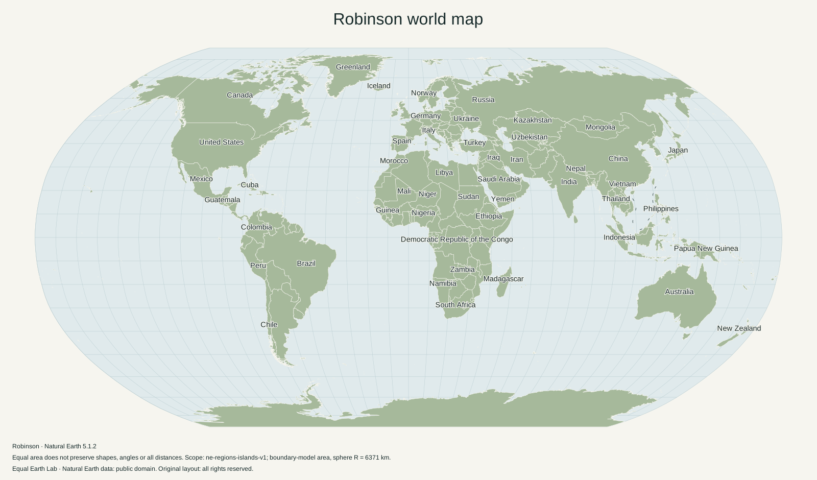
A world map designed for its overall appearance
Arthur H. Robinson developed this projection in 1963 for Rand McNally. Its design balances several kinds of distortion instead of preserving one property exactly. Esri’s projection documentation describes the history, curved meridians and straight parallels.
The poles appear as lines, shorter than the equator. High latitudes remain visible without extending the map to infinity. This makes Robinson useful for a general world overview when familiar outlines and a compact frame matter.
What the compromise means
Robinson is neither equal-area nor conformal. Areas, angles, shapes and distances all change. Its restrained appearance should not be mistaken for a guarantee that country sizes are proportional. High-latitude regions still gain apparent area.
Compare Robinson with Equal Earth on the world map. Select Greenland and switch between the projection buttons, then look at Africa. The shared dataset helps isolate what the projection changes. Each world is fitted independently, so compare the relative size of places within a view rather than treating pixels across different views as a common area scale.
Robinson and Equal Earth
Equal Earth borrowed visual ideas from Robinson while adding area preservation. If your slide makes an argument about the relative sizes of countries, use Equal Earth. If you want to discuss projection tradeoffs themselves, showing Robinson alongside Equal Earth makes the distinction visible.
The detailed Equal Earth vs Robinson comparison shows matching world maps, numerical examples of area enlargement and the role of parallel spacing in the two designs.
Make a Robinson map, or read the three-projection decision guide.
Sources & further reading
Map calculations use the fixed dataset described in our methodology.