Make a map worth keeping.
Choose a template, give it a title and highlight the places that matter. Download a clean map for your document or presentation.
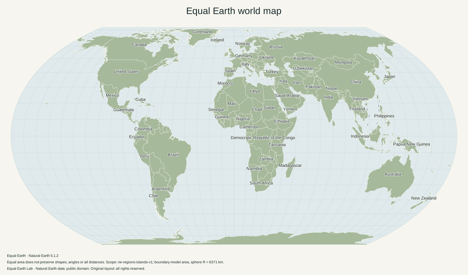 Updating preview…
The preview and exported files use the same map renderer. Country boundaries are generalized; the map is unsuitable for navigation or boundary measurement.
English · Place labels on · ne-5.1.2-lab-1
Original layout: all rights reserved.
Choose a useful starting point
The labeled world is a general-reference map with selected country names. The blank world removes place names for annotation or a worksheet. The presentation comparison puts two projections in separate frames. Each frame fits its projection independently, so the two frames do not share a distance scale.
Add up to six highlights, switch between paper, white and monochrome, or change the central meridian and orientation. Long titles are limited to 100 characters. Place labels are selected to reduce collisions; a world map cannot label every small island.
Pick the file for your task
- PNG, 1600 × 940 px: a compact image for documents and ordinary slide layouts.
- PNG, 3200 × 1880 px: more pixels for larger placements, with a larger file.
- SVG: vector outlines and editable text. Physical relief is embedded as a raster image.
- Standard PDF: use the download collection for verified paper sizes.
Choose Atlas for flat colors or Physical relief for shaded land and ocean terrain. Both options work with Equal Earth, Robinson and Mercator. The preview and download use the same layout; choosing 3200 pixels increases detail without moving the title or labels. The file contains no printed source caption. SVG metadata records the render settings, data version and license.
Map creation happens in your browser. Your title and selections are not uploaded. Read the license beside the download before reuse: Natural Earth’s public-domain data status does not automatically set the license for original layouts or articles.
Sources & further reading
Map calculations use the fixed dataset described in our methodology.