How Equal Earth began
Bojan Šavrič, Tom Patterson and Bernhard Jenny introduced Equal Earth in 2018. They wanted a world map that preserved area and had an approachable, rounded appearance.
Who created Equal Earth, and when?
The three authors are Bojan Šavrič, Tom Patterson and Bernhard Jenny. Their paper, The Equal Earth map projection, was published online on 7 August 2018. It appears in volume 33, issue 3 of the International Journal of Geographical Information Science, dated 2019, on pages 454–465. The journal record gives both dates, which explains why references sometimes show different years.
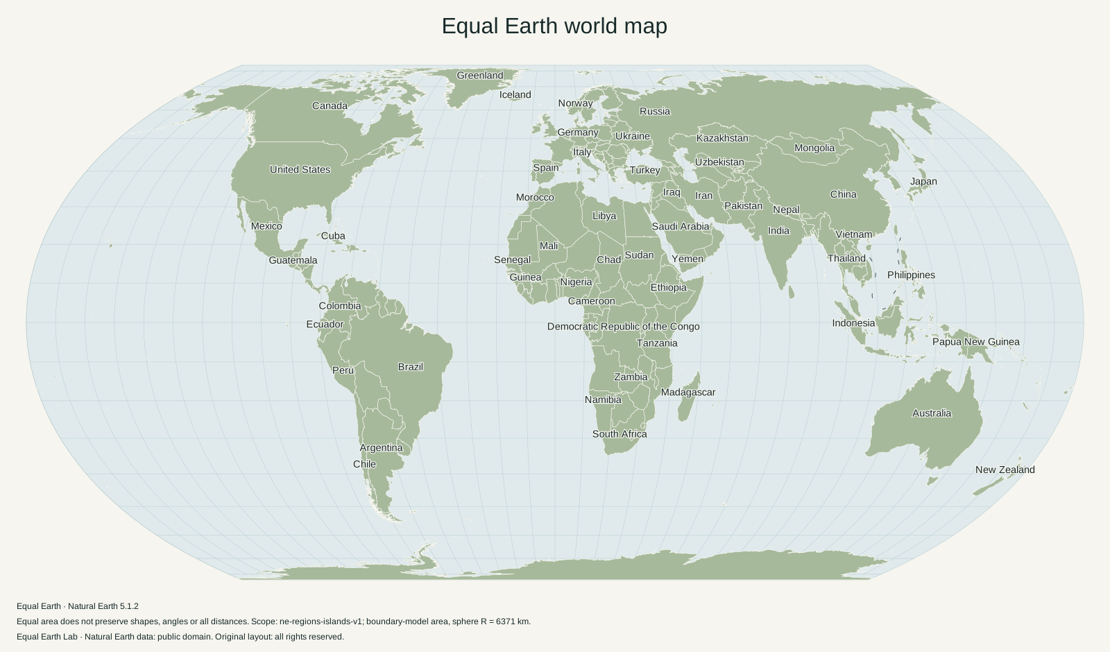
Equal Earth is the name of a mathematical projection. The projection can be used with many different datasets and visual styles. It is distinct from any particular wall map made with it, and from Natural Earth, the source of this site’s boundaries and physical terrain imagery.
What problem were the authors trying to solve?
The design grew from debate about school world maps in 2017. According to Esri’s account of the project, Patterson contacted Jenny and Šavrič after looking for an equal-area world projection that would also meet their visual preferences. Their aim combined a mathematical requirement, preserving relative area, with a design requirement, making the world recognizable and comfortable to read.
Those requirements address different things. Preserving area gives a precise relationship between a region’s geographic footprint and its footprint on the page. A visually pleasing outline is a judgment about the resulting picture. The authors wanted both; one cannot be inferred from the other.
Why does it resemble Robinson?
Robinson supplied a useful visual reference: straight parallels, curved meridians and a rounded outline. The authors’ projection page identifies that resemblance while distinguishing Equal Earth’s area property. Robinson is a compromise projection and is not equal-area.
This is a helpful case of two maps looking alike while making different promises. The outline of the whole world is only a frame. What matters for area comparison is how the projection distributes space inside that frame. Equal Earth’s equations preserve the relative areas of all regions, rather than merely matching the appearance of a few continents.
For the actual equations and a worked area proof, see the Equal Earth projection guide. For the visual difference, switch between Equal Earth and Robinson on the interactive world map.
A short timeline
| Date | What happened | Source |
|---|---|---|
| 2017 | School-map debate helped prompt the design project. | Esri project account |
| 7 August 2018 | The authors’ paper was published online. | Journal publication record |
| 2019 | The paper appeared in the journal’s volume 33, issue 3. | Journal issue record |
| 4 September 2026 | The African Union reported adoption of the UN General Assembly’s map-related resolution. | Event guide and primary statement |
The last event concerns institutional promotion, not the invention of the projection. Equal Earth already existed years before that action. A campaign can encourage the use of a mathematical method without having created it.
Where this site fits
Equal Earth Lab is an independent project that explains and implements the projection. The maps on this site are generated from our documented source pipeline; they are not copies of the authors’ wall-map artwork. The three projection creators are credited for their work, and the original publication remains the source for the design.
For ready-made files from this project, visit Downloads. When citing the projection itself in research, cite the authors’ paper rather than this site’s explanation. A map’s artwork, geographic data and mathematical projection have different authorship and reuse conditions.
Sources & further reading
Map calculations use the fixed dataset described in our methodology.