An Equal Earth world map, ready for your page
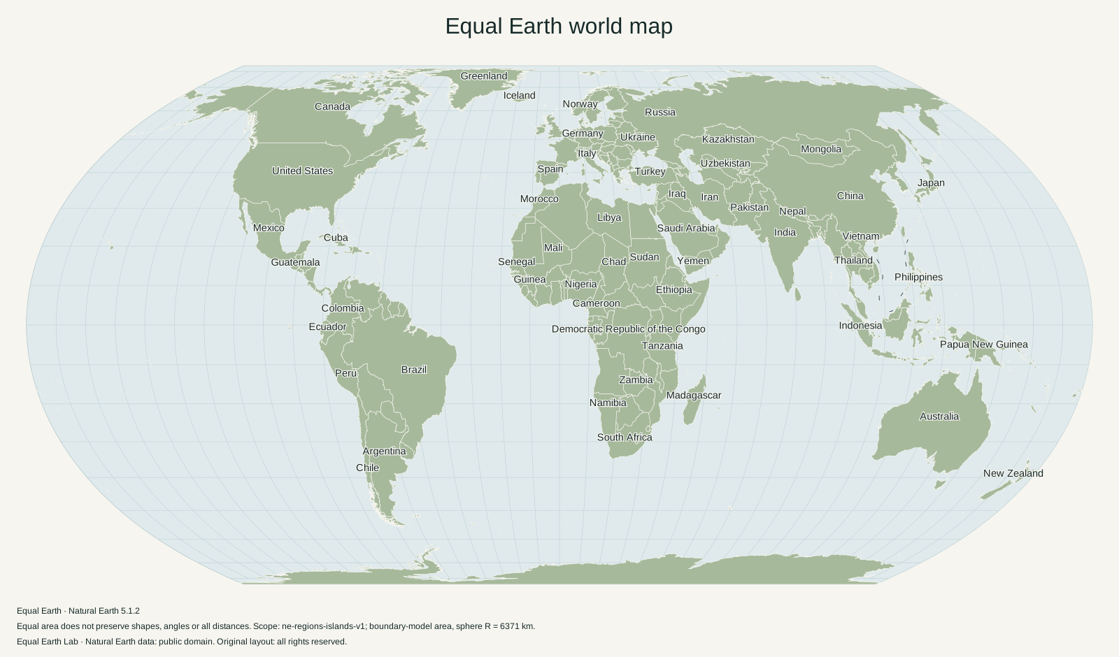
A labeled world map with country outlines, selected place names and a latitude–longitude grid. Choose an image, a vector file or a prepared print size below.
What is in this map?
The standard world map uses Equal Earth, a Greenwich central meridian and north-up orientation. It shows the entire world in a finite frame, including Antarctica. Country boundaries and selected English place names are drawn over a flat-color Atlas background. The source caption identifies the projection and dataset.
This is a general-reference world map. Coastlines are generalized, and selected labels are spaced to reduce collisions. Small islands and closely packed countries cannot all be labeled legibly at this scale. For a map with a few specific places emphasized, use Make a map.
Choose an image or a print file
PNG is straightforward to insert into a slide or document. The 3200-pixel version has more image detail than the 1600-pixel version. SVG retains vector outlines and text for compatible editors. Both use the same geographic boundaries and projection.
The PDF files are prepared for the paper sizes shown in the list. Select A4, A3 or US Letter for ordinary printing; the collection also includes the larger world-map formats listed below. Check your printer’s paper setting and preview before printing. The artwork is fitted proportionally with a margin, so the file does not stretch the globe to match the paper’s aspect ratio.
Need a different version?
The blank map omits place names for annotation. The presentation composition places Equal Earth beside Mercator. For Physical relief, a different center, south-up orientation or custom highlights, use the browser-based map maker.
Equal Earth preserves area, not every shape or distance. Avoid using a world map as a navigation chart or a precise boundary measurement. The methods page explains the geographic model and scope.
Source and reuse information
The boundaries derive from Natural Earth 5.1.2. Natural Earth’s data are public domain; the license for this original composition is listed with the files. The verification details below include each file’s size and SHA-256 digest so a downloaded copy can be matched to the listed version.
The printing and placement guide explains resolution, proportional resizing and a useful source-note format.
Download files
1600 × 940 px · English · 1.38 MB
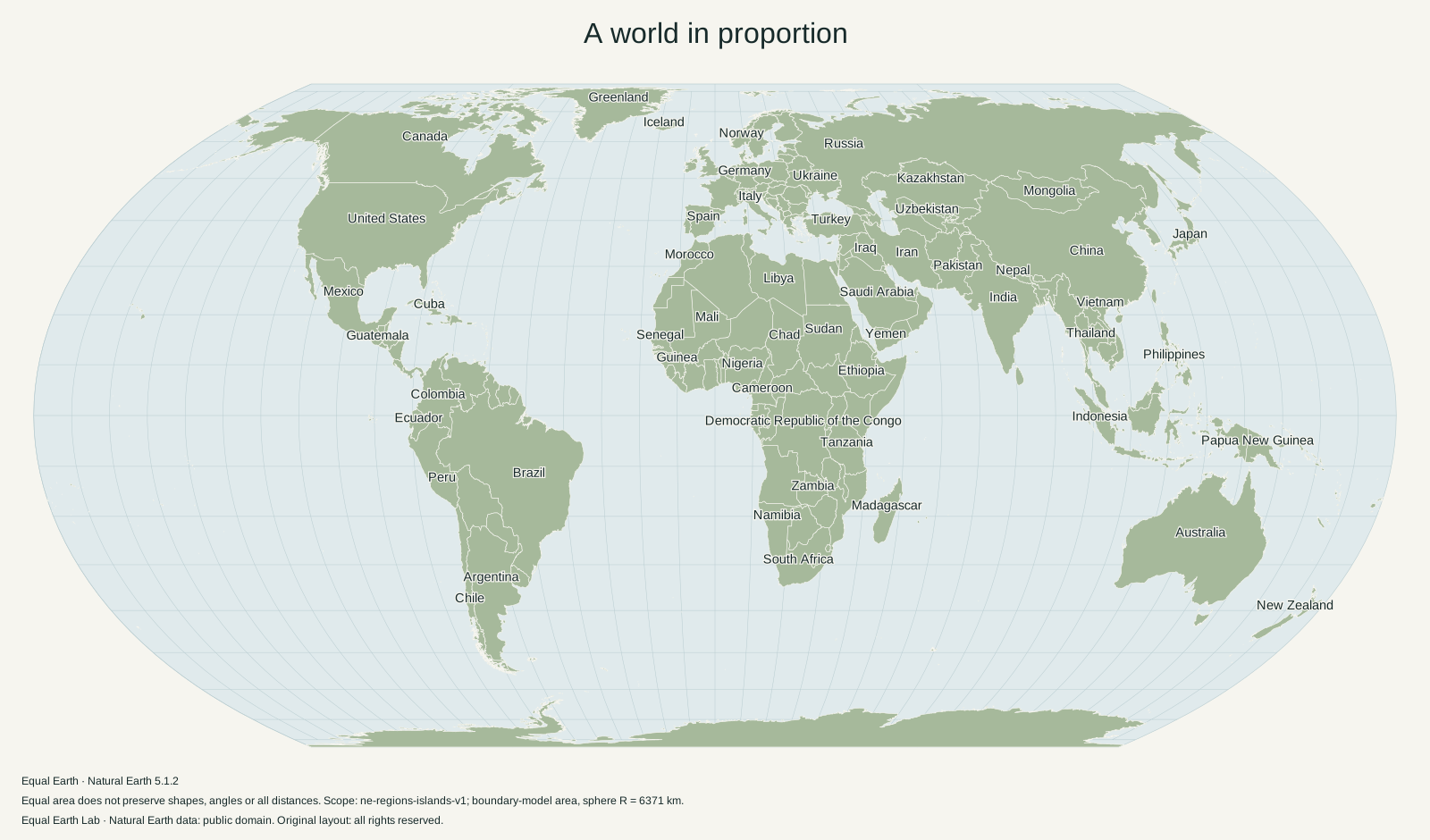
1600 × 940 px · English · 0.47 MB
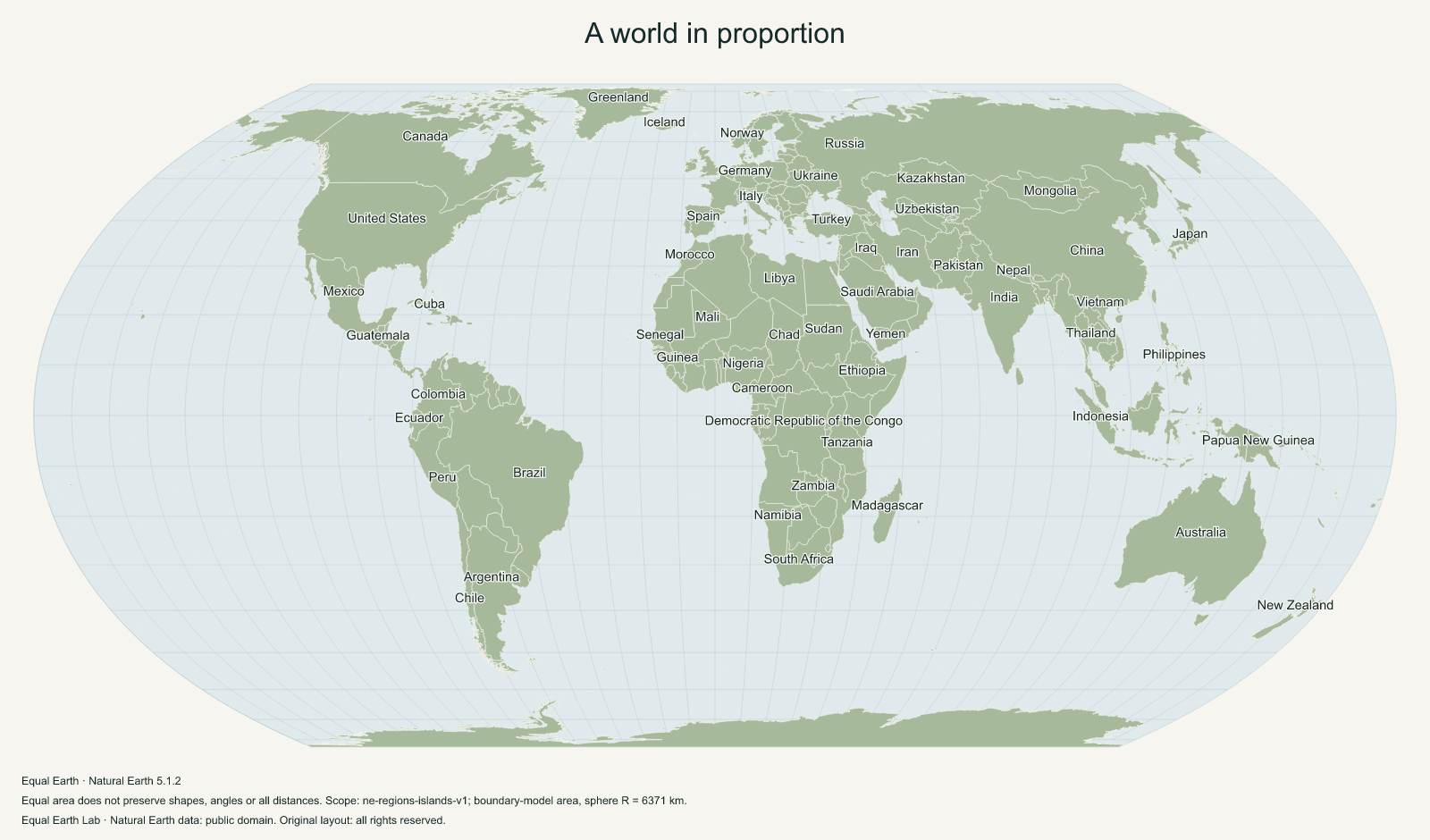
3200 × 1880 px · English · 1.01 MB
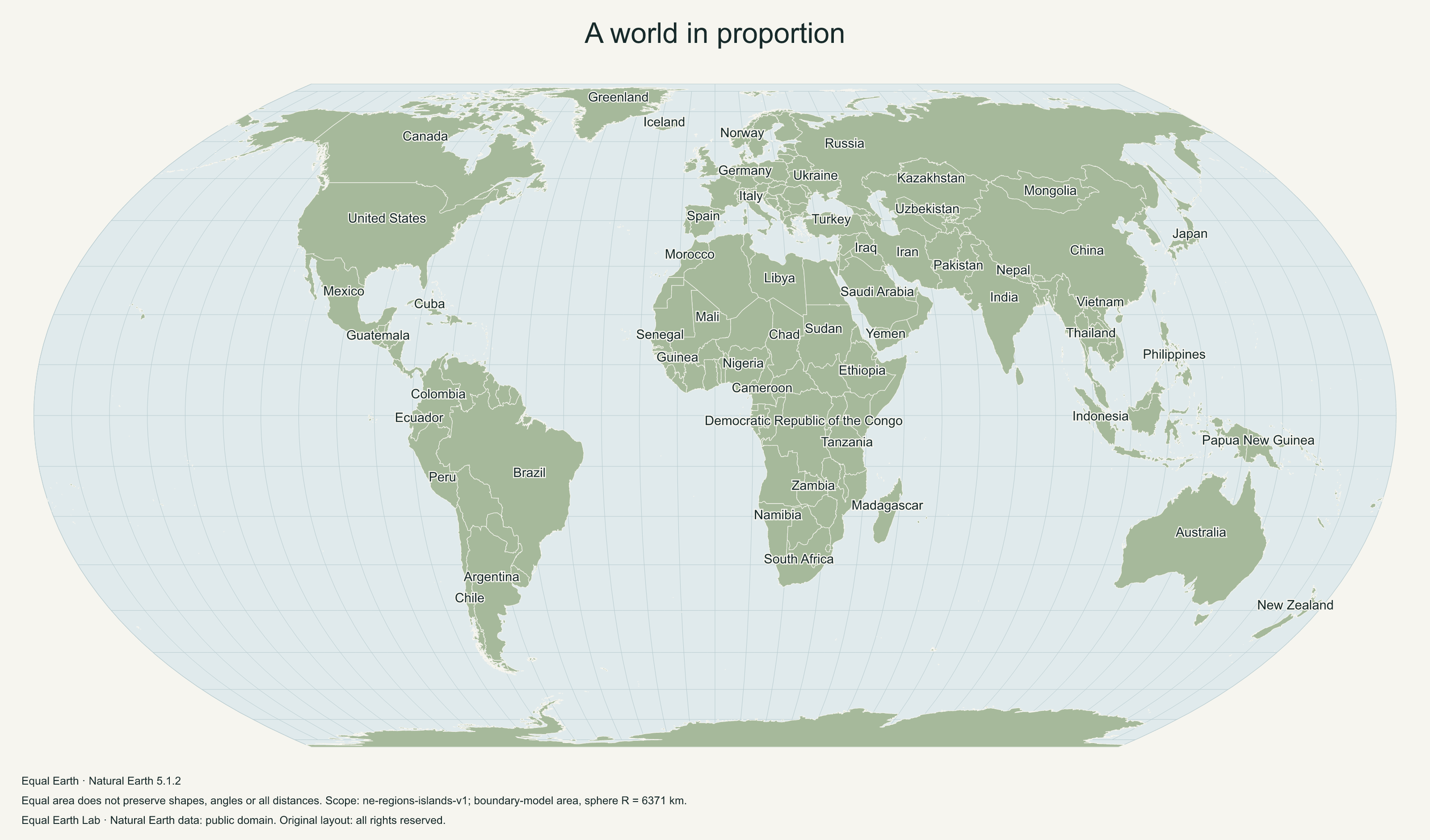
297 × 210 mm · English · 0.50 MB
420 × 297 mm · English · 0.50 MB
279 × 216 mm · English · 0.50 MB
594 × 420 mm · English · 0.50 MB
610 × 457 mm · English · 0.50 MB
File verification and license details
Natural Earth data is public domain. Original layout: Original layout: all rights reserved.
Boundary version: ne-5.1.2-lab-1. Files retain a visible source caption and map metadata.
- world-vector
7e0cecb66bc87617d25a2c58e751622ebe89ca409ad209c4f7e19f84d67a86e3 - world-1600
5559fabe300a972b146b00aa2c5424fed2a40e5bf6d4911462f4edf3a245d531 - world-3200
2cf9e212ace8e8ce00dcb31533e059b4daace55ac040f43fa1f00f14168781b7 - world-a4
693f0e3364376b3cc21c7573a0551020004b3044ca2f62b2fdca6c534f5be64e - world-a3
f79f5d185f847bdf14759a5239679141f18decd58a20f4db057e3749aafe5417 - world-letter
f936536b20e2ebefb421984c4f7dbc7323c25f6b1171daf21948a87a8e25fbe8 - world-a2
ead89ebbedca0946792d96e9c54969448276248b00a698e34cf6a05360e047f4 - world-24x18
b52fcb79fd6f4fde012fd46251b65bf2a48458ef072aa64f0dd7b908a857cda5
Sources & further reading
Map calculations use the fixed dataset described in our methodology.