A blank world map with room for your own explanation
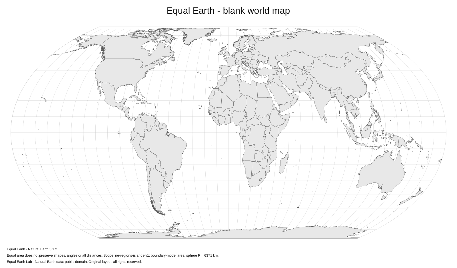
Country outlines without place names. Add your own annotations, mark a route conceptually, or highlight a region while keeping the world’s relative areas in proportion.
What “blank” means here
This map removes country and city names from the map face. It retains country outlines and the projection’s world frame, together with source information below the drawing. It is useful when labels would compete with your own annotations or when the audience needs to identify places without being given the names.
The standard version uses Equal Earth, north-up orientation and a Greenwich central meridian. Blank does not mean geographically empty: the countries still use the same versioned boundary data as the labeled map. Very small features are limited by the source’s generalized world-map scale.
Add information without obscuring the geography
Place annotation labels outside small countries and connect them with a thin line where needed. Use a key when several colors or patterns represent different groups. For an area comparison, use the same projection and drawing scale for both places, and explain the scope if overseas territories or continental regions are involved.
This is also a useful starting point for a worksheet or a presentation built around one question. A blank map provides space, but the surrounding text must explain what the audience should do with it. If a route is drawn for illustration, do not imply that its straight screen length is a correct global distance.
Pick a format
Choose PNG for simple placement in a document. Use the larger PNG if the map will occupy more of the page. Choose SVG for editable vector outlines in software that supports them. The standard PDFs provide A4, A3 and US Letter pages with proportional map placement and print margins.
No geographic labels are included in the blank template. If your own text is added in an editor, check the final font and export at its intended reading size. The map-use guide explains the difference between pixel dimensions and print resolution.
Customize the base map
In Make a map, select Blank world to start without place names. You can choose a color theme, remove the graticule, change the central meridian or add up to six geographic highlights. Physical relief is available there for a blank terrain-based composition, exported as PNG or an SVG with embedded imagery.
The source data and original composition have separate reuse terms. Check the license displayed below, and keep a source note with your finished work. Natural Earth’s underlying data are public domain.
Download files
1600 × 940 px · English · 1.37 MB
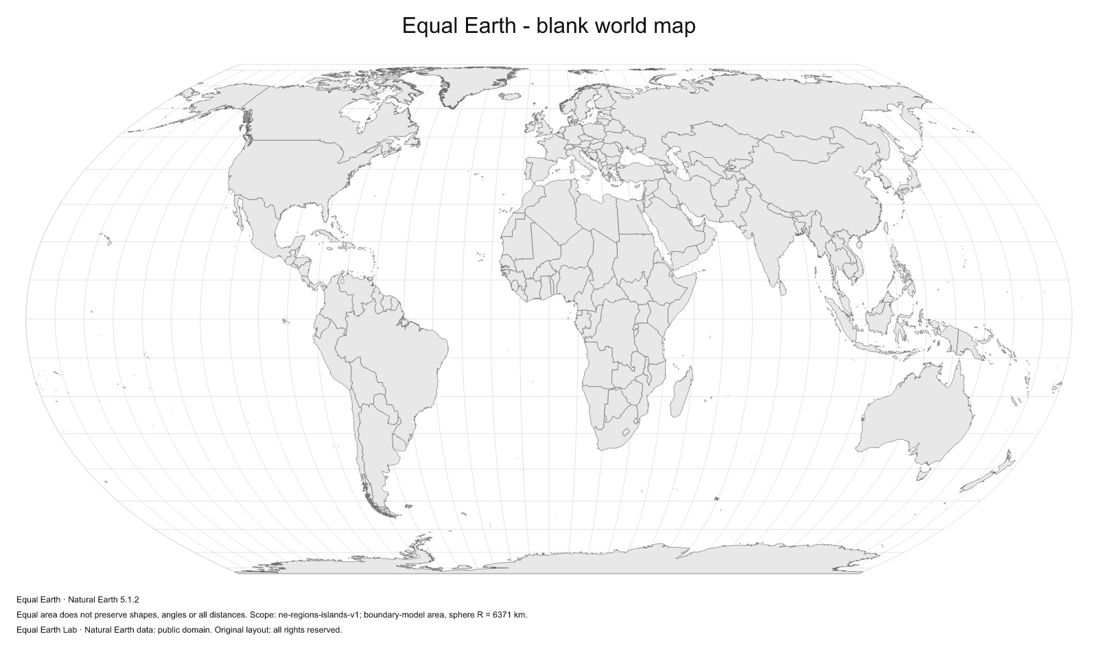
1600 × 940 px · English · 0.31 MB
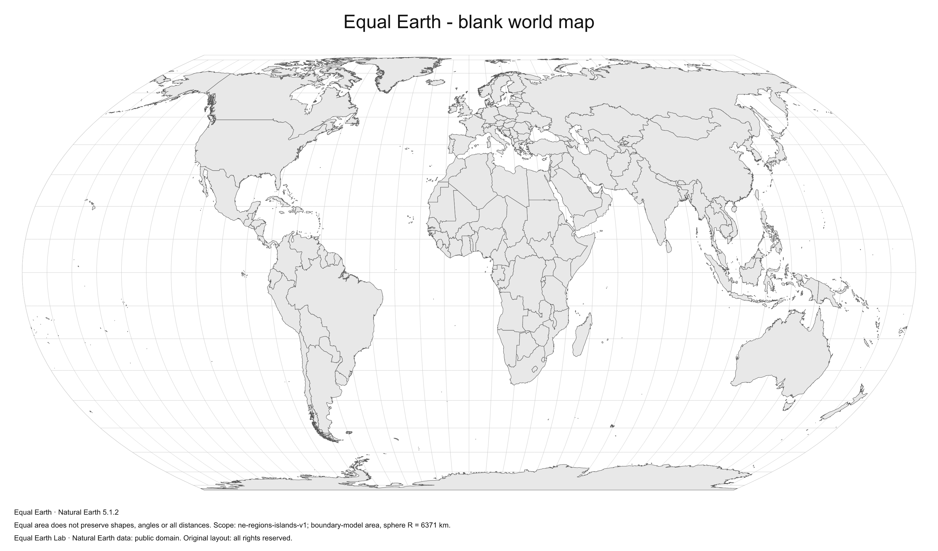
3200 × 1880 px · English · 0.78 MB
297 × 210 mm · English · 0.50 MB
420 × 297 mm · English · 0.50 MB
279 × 216 mm · English · 0.50 MB
File verification and license details
Natural Earth data is public domain. Original layout: Original layout: all rights reserved.
Boundary version: ne-5.1.2-lab-1. Files retain a visible source caption and map metadata.
- blank-vector
d930e67cace4ff464aabfa74a3532b14b43b30c434983cc1cd7bf999c639cc7f - blank-1600
0bea68968ff9075f2d9ff43dede46fe24030bff17080a68ce6158d81c08489e0 - blank-3200
8f6b7620f048d7da734a80723ec73b744f79806d3a05e1916552e9b46c89db10 - blank-a4
a0667d3ea00c9fd3d7fbc11e8cbda940993170b2d8afb5a84e62d82ba04f73d6 - blank-a3
9e1c487915b42fa44660b74bb7c5143191ce61c5ac98df69a9ec4af7c4982e54 - blank-letter
74ef951774340bf18fff41d4f957509d9454e781fc7f9a58cb08f6548bf540f1
Sources & further reading
Map calculations use the fixed dataset described in our methodology.